What Actually Happened With FEMA
Six months after the tornado, federal recovery funding stalled in North St. Louis. As Federal policy changes restrict FEMA's funding and shift response toward a state obligation, the mere concept of response has become fractured between groups in St. Louis. Does it look like debris removal, or housing assistance, and renovation programs? How might this perception of response differ throughout the city? How might it differ between City hall and North St. Louis residents?
KSDK — St. Louis
FEMA Rejects Bulk of St. Louis Tornado Demolition Costs
February 3, 2026
Federal policy prohibits reimbursement for structures condemned prior to the disaster. FEMA considers multiple structures owned by the same entity to be “commercial properties,” regardless of the number of units, making them ineligible for debris removal programs.
“Visually, you won’t see progress in neighborhoods like mine,” McLemore said. “A lot of these vacant buildings will probably stand for years as a result.”
Action St. Louis is urging the city to ensure that demolition costs do not drain the $13 million currently earmarked for critical home repairs. For now, neighbors are left waiting, hoping the promised resources will finally reach their doorsteps.
Read full article →
NPR
Tornado Survivors Say Recovery Is a Mess Due to FEMA Changes
November 16, 2025
Six months ago today, a tornado ripped through the city. It left more than a billion dollars of destruction, including more than 5,000 damaged buildings. Now it’s become a key experiment for President Trump’s new policy on federal emergency response — shifting the burden of recovery from FEMA to the states.
Residents say they’re the guinea pigs of this experiment and many feel, at best, in limbo, at worst, abandoned.
Read full article →
Connected thread — land banking & the pre-condemned clause
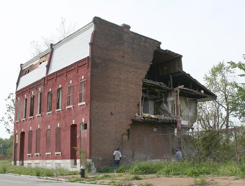
The FEMA rule barring reimbursement for pre-condemned buildings hits North St. Louis disproportionately — a city where decades of land banking left hundreds of properties legally condemned before any storm arrived.
Mayor Cara Spencer’s office argued these restrictions “unfairly impact property owners who are low-income and uninsured, leaving them without the personal financial means to address the hazardous debris on their own.”
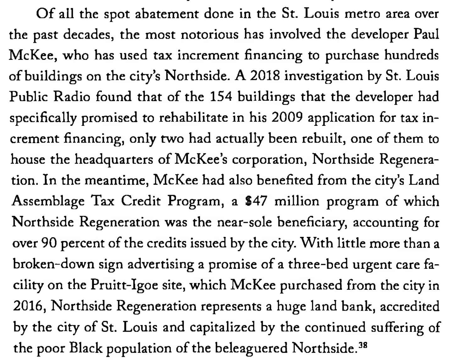
Of all the spot abatement done in the St. Louis metro area over the past decades, the most notorious has involved the developer Paul McKee, who has used tax increment financing to purchase hundreds of buildings on the city’s Northside. A 2018 investigation found that of the 154 buildings McKee had specifically promised to rehabilitate, only two had actually been rebuilt… Northside Regeneration represents a huge land bank, accredited by the city of St. Louis and capitalized by the continued suffering of the poor Black population of the beleaguered Northside.
— Walter Johnson, Broken Heart of St. Louis
Map It Yourself
Drag terms onto the canvas and draw connections. Build your own causal diagram of the structural forces at play in disaster inequality — segregation, FEMA rules, land banking, feedback loops, and more.
Term supply — drag onto canvas
FEMA
Federal Gov
State Gov
Local Gov
Land Banking
Natural Disaster
Tornado
Compounds
Delmar Divide
State Government
Supports
Decreases
Depends On
Displacement
Grassroots
Public Health
Redlining
Vacant Prop.
Low Income
Recovery Aid
Policy Failure
North STL
South STL
Inequality
Disinvestment
Black Residents
White Residents
Tax Credits
Demolition
Housing
Feedback Loop
How to use: Drag any term from the left panel onto the beige canvas. Select Line or Arrow, then click and drag to draw connections. Use the color buttons to change stroke color. Reset clears all drawings and dropped terms.
Data Sources & Methodology
Building damage assessments from the Microsoft AI for Good Lab via ArcGIS REST API (predicted_damage_St_Louis_model_364_v6). Damage score (0–1) reflects predicted structural damage from AI analysis of post-event satellite imagery. 78,777 buildings assessed across St. Louis City.
Census demographics from the U.S. Census Bureau American Community Survey (ACS) 5-year estimates, 2022, at the census tract level. Variables: race (B02001), median household income (B19013), tenure/homeownership (B25003), housing age (B25034), median home value (B25077). Tract boundaries from TIGER/Line 2022 via pygris.
FEMA Aid Proxy is a composite score (0–1) equal-weighting min-max normalized median home value and owner-occupancy rate. This proxies structural aid eligibility and award magnitude under FEMA's Individuals and Households Program (IHP). It is not a precise aid forecast. OpenFEMA Housing Assistance Owners v2 was consulted for validation context.
Spatial analysis conducted in Python using geopandas, pygris, and the census API package. Pearson correlations computed across 54 tracts with at least one assessed building.
Shared Work Log
Ben lead
- Data pipeline — Python scripts 01–05 (fetch, spatial join, census pull, merge, export)
- GIS analysis & Mapbox GL JS choropleth map
- Sourced quotes & primary text excerpts
- Scrollytelling layout & step logic
Caleb lead
- Research on FEMA policy & racial disaster recovery
- Interactive canvas drawing tool
- Feedback loop causal diagram
- FEMA context & enrichment sections
Both shared
- Data collection & source vetting
- Analysis & interpretation of findings
- Writing & editorial review